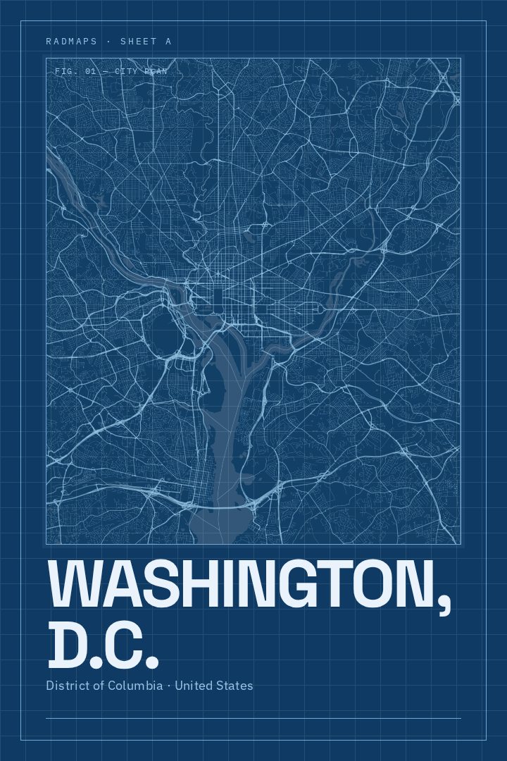
Shown at 16×24" · Archival Matte 250 gsm
Washington, D.C. City Map Poster
Blueprint
About this print
Washington, D.C. map poster
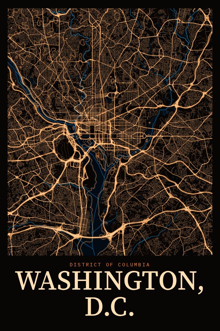
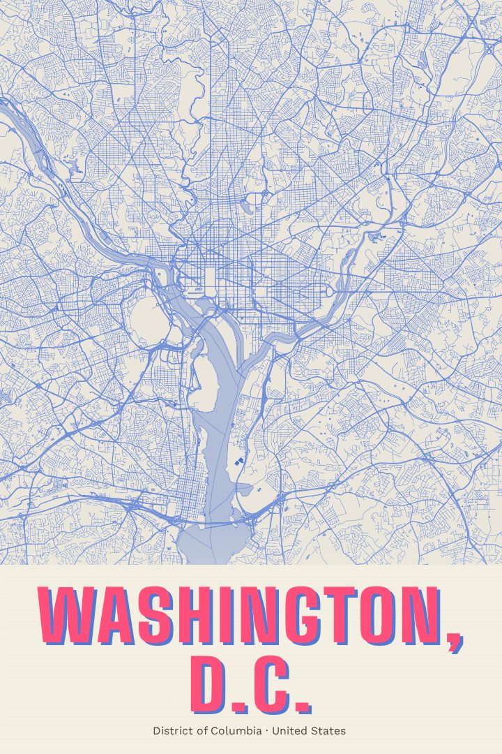
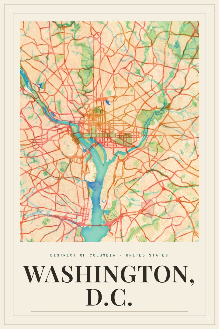
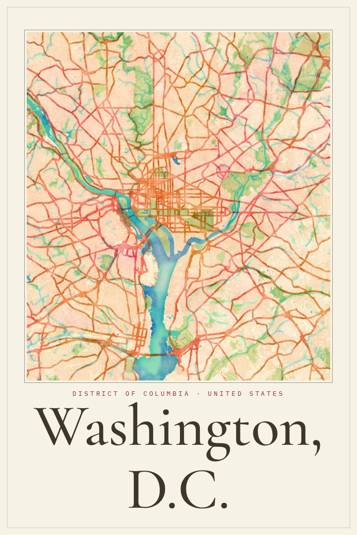
Washington, D.C. is a city shaped by a plan. Its broad avenues cut diagonally across a grid of numbered and lettered streets, meeting at circles and squares that give the capital its distinctive pattern. Between the Capitol and the Lincoln Memorial stretches the National Mall, lined with museums and monuments, while the Potomac River traces the city's southwestern edge and Rock Creek Park winds green through its northern neighborhoods. Few American cities were laid out with such deliberate geometry, and that order is part of what makes the street plan so satisfying to look at.
The Blueprint edition presents this map in a style that recalls technical drawings, with a cool, precise look that suits a city designed on paper before it was built. It reads well from across a room as a pattern of lines and shapes, and rewards a closer look for anyone who knows the streets. It fits naturally in a home office, a study, or a hallway, and pairs easily with clean, modern decor as well as more traditional rooms.
This print makes a thoughtful gift for someone who has lived in the District, studied or worked there, or simply loves its mix of history, politics, and neighborhood life. It can mark a move, a graduation, or a memorable visit to the capital. Like every RadMaps poster, it is meant as decorative art for the wall rather than a tool for finding the way around town.
Make a custom map poster of your own routeDid it yourself? Make a poster from your own Strava activity
Route details
- Location
- District of Columbia, United States
- Collection
- Cityscapes
Same city, different style
Washington, D.C. in every style
You might also like
Related map posters




Part of a collection