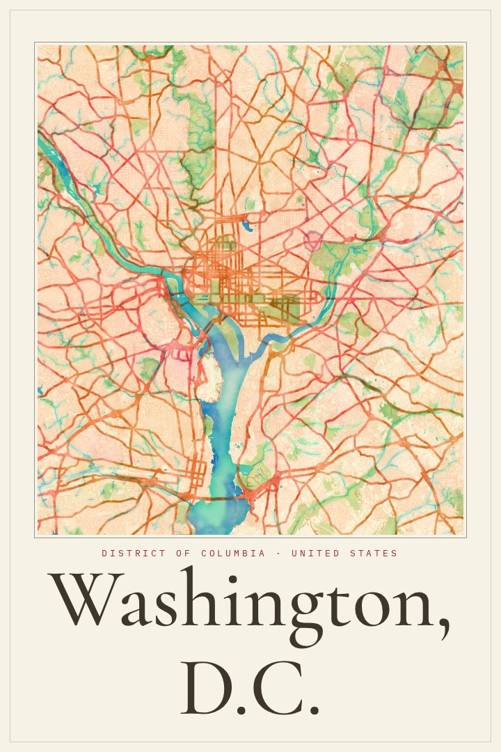
Shown at 16×24" · Archival Matte 250 gsm
Washington, D.C. City Map Poster
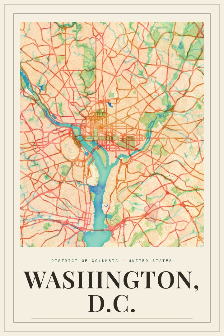
Watercolor
About this print
Washington, D.C. map poster
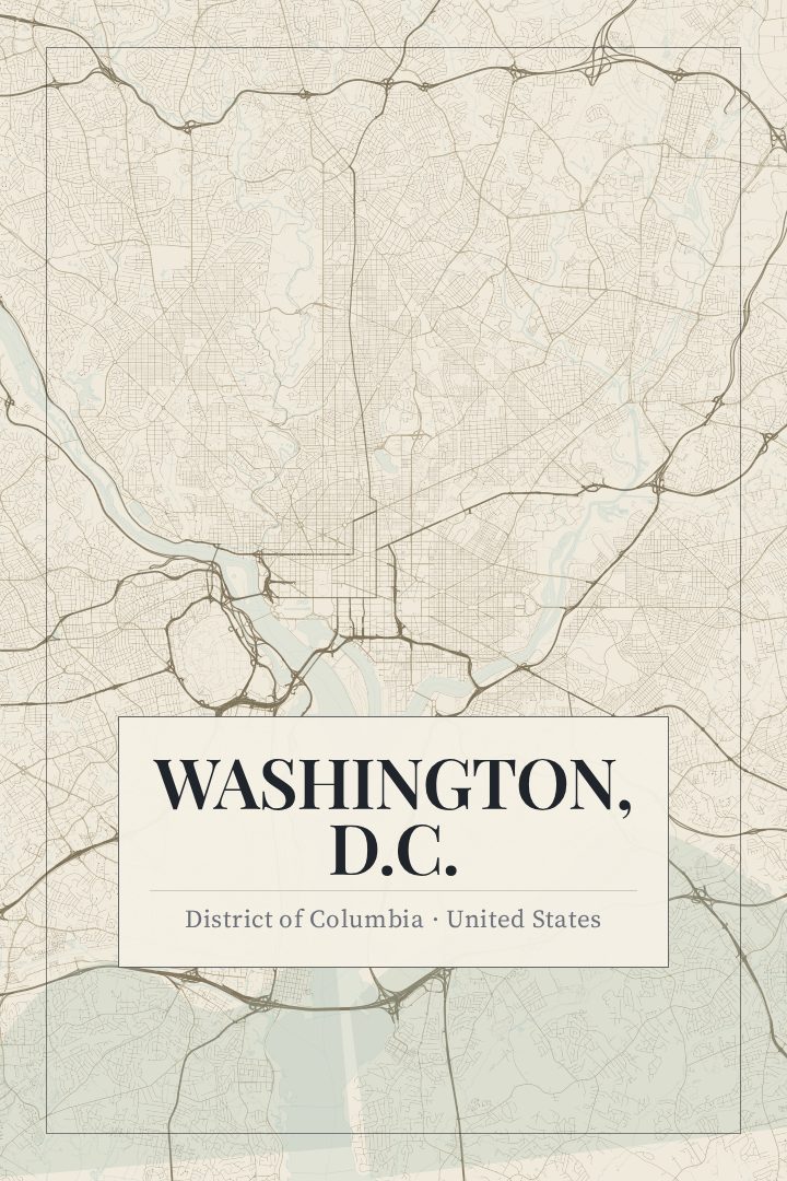
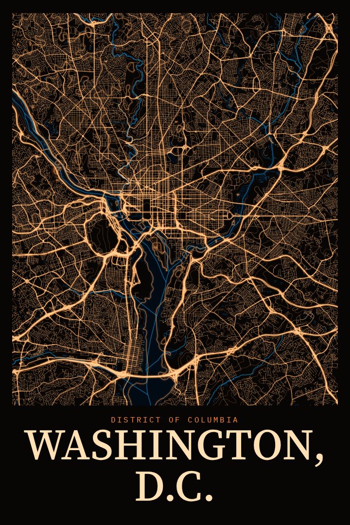
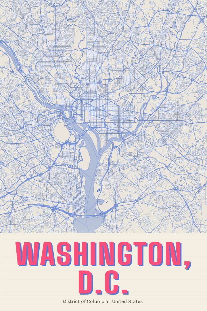
Washington, D.C. is a city shaped by a plan. Its grid of lettered and numbered streets is cut through by broad diagonal avenues named for the states, and those avenues meet at circles and squares that give the city its distinctive pattern. The Potomac and Anacostia rivers frame its southern edges, and the National Mall stretches between the Capitol and the Lincoln Memorial, lined with museums and monuments that draw visitors from around the world. Beyond the federal core, the city is a place of rowhouse blocks, tree-lined residential streets, and neighborhoods with long histories of their own.
This print renders the street map of Washington, D.C. in the Watercolor style, a soft, painterly look that suits a city so often seen in spring light along the Tidal Basin or on a quiet evening walk past the memorials. The style lets the geometry of the street plan come through gently, so the map reads as a piece of art first, at home in a living room, office, or hallway.
It makes a thoughtful keepsake for anyone who has lived in the District, studied or worked there, or simply fallen for the city on a visit. It also works as a gift for someone heading off to a new chapter elsewhere who wants a reminder of the streets they knew. As with all RadMaps posters, it is meant for the wall, not for finding your way around town.
Make a custom map poster of your own routeDid it yourself? Make a poster from your own Strava activity
Route details
- Location
- District of Columbia, United States
- Collection
- Cityscapes
Same city, different style
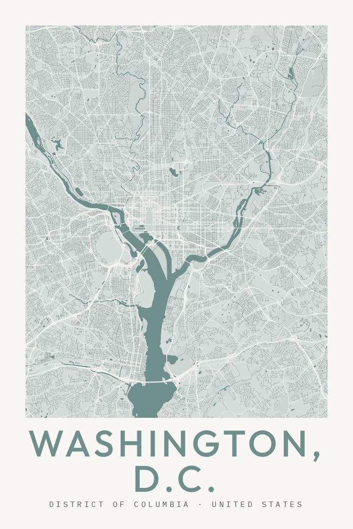
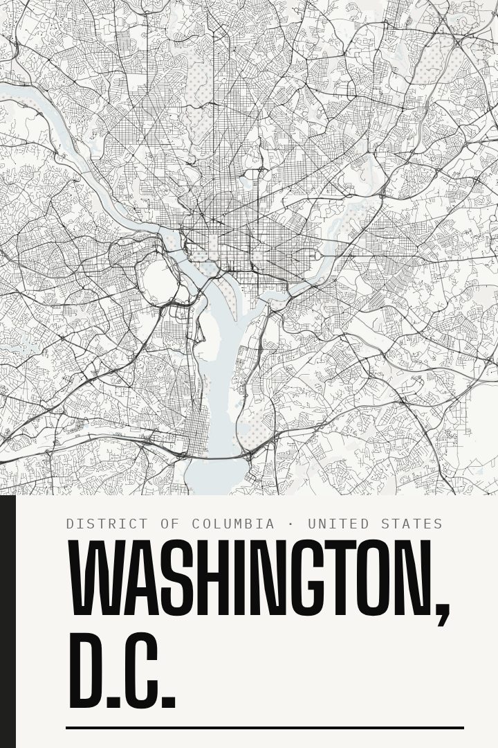
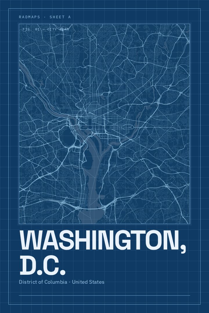
Washington, D.C. in every style
You might also like
Related map posters




Part of a collection