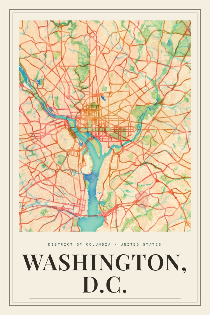
Shown at 16×24" · Archival Matte 250 gsm
Washington, D.C. City Map Poster
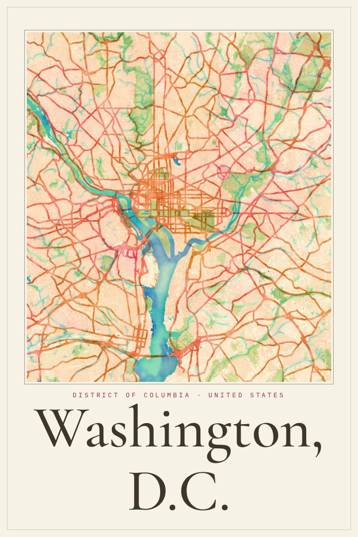
Painted Survey
About this print
Washington, D.C. map poster
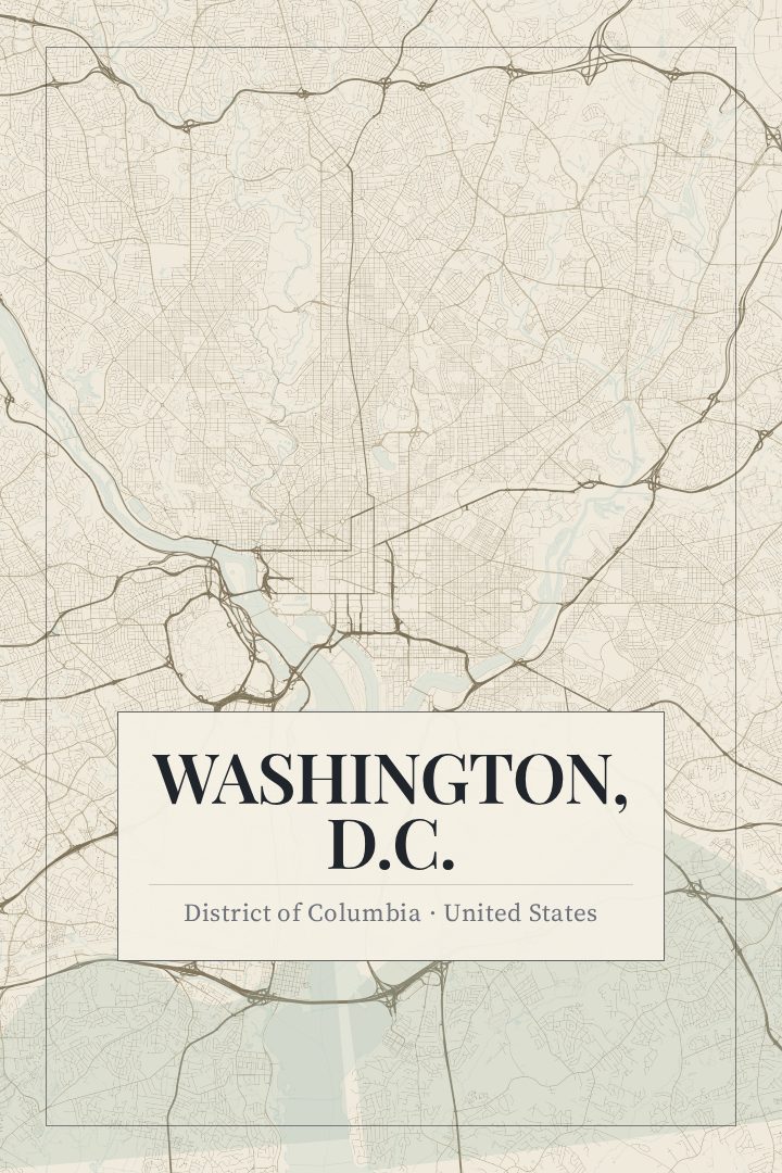
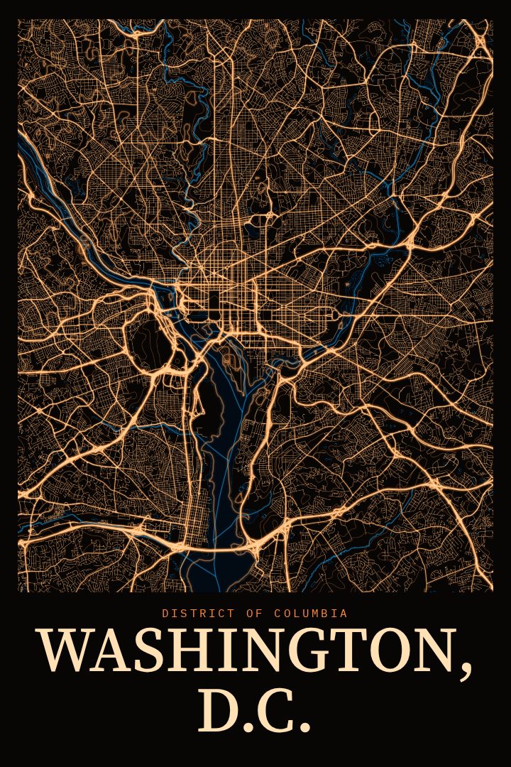
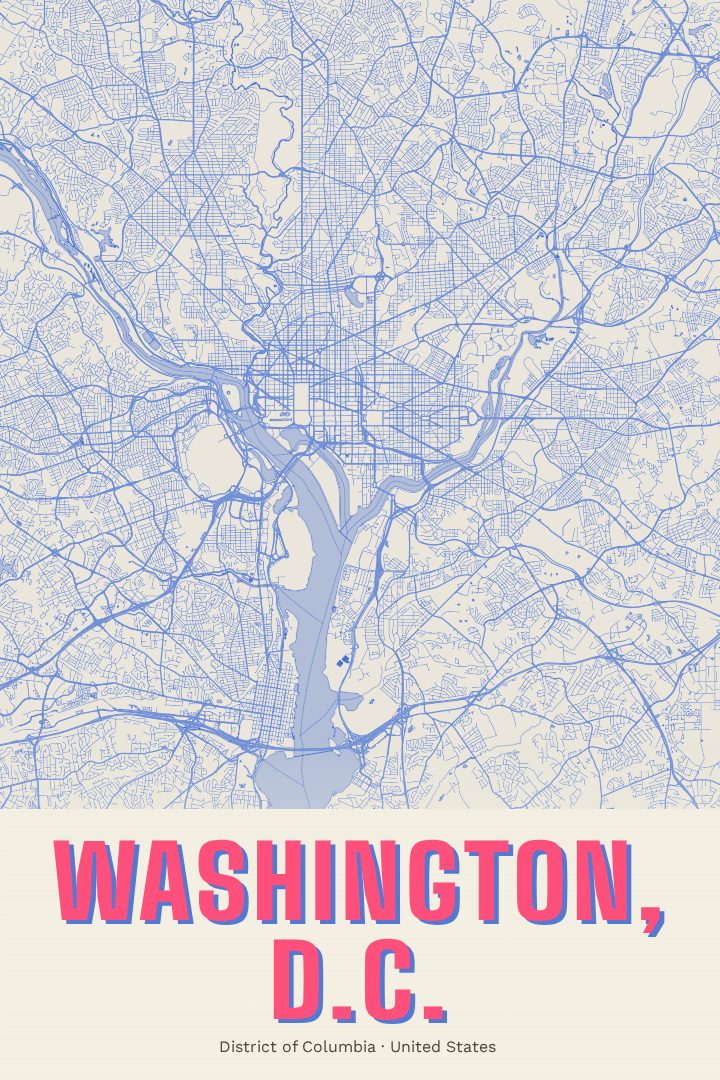
Washington, D.C. is a city laid out on purpose. Its grid of lettered and numbered streets is crossed by broad diagonal avenues named for the states, and those avenues meet at circles and squares that give each neighborhood its own center of gravity. The Potomac and Anacostia rivers shape its southern and eastern edges, and the National Mall runs between the Capitol and the Lincoln Memorial at the heart of it all. Few American cities have a street plan this deliberate, and it holds up beautifully as a piece of wall art.
This print renders the District's street map in the Painted Survey style, a design that pairs the precision of a survey drawing with a softer, painterly feel. The result is an image that reads as a portrait of the city's structure rather than a tourist souvenir. It suits a home office, a hallway, or a living room where it can be looked at up close.
For anyone who has lived in D.C., the map is full of private landmarks: the block of a first apartment, the route of a daily commute, the corner where a weekend usually began. For those who visited once and never forgot it, or who are moving away and want to keep the city nearby, it offers a quiet reminder of a place defined by its avenues, rivers, and monuments. It also makes a thoughtful gift for a graduate, a new resident, or a friend heading off to a new chapter. As with every RadMaps print, it is meant for display and enjoyment, not for finding your way around.
Make a custom map poster of your own routeDid it yourself? Make a poster from your own Strava activity
Route details
- Location
- District of Columbia, United States
- Collection
- Cityscapes
Same city, different style
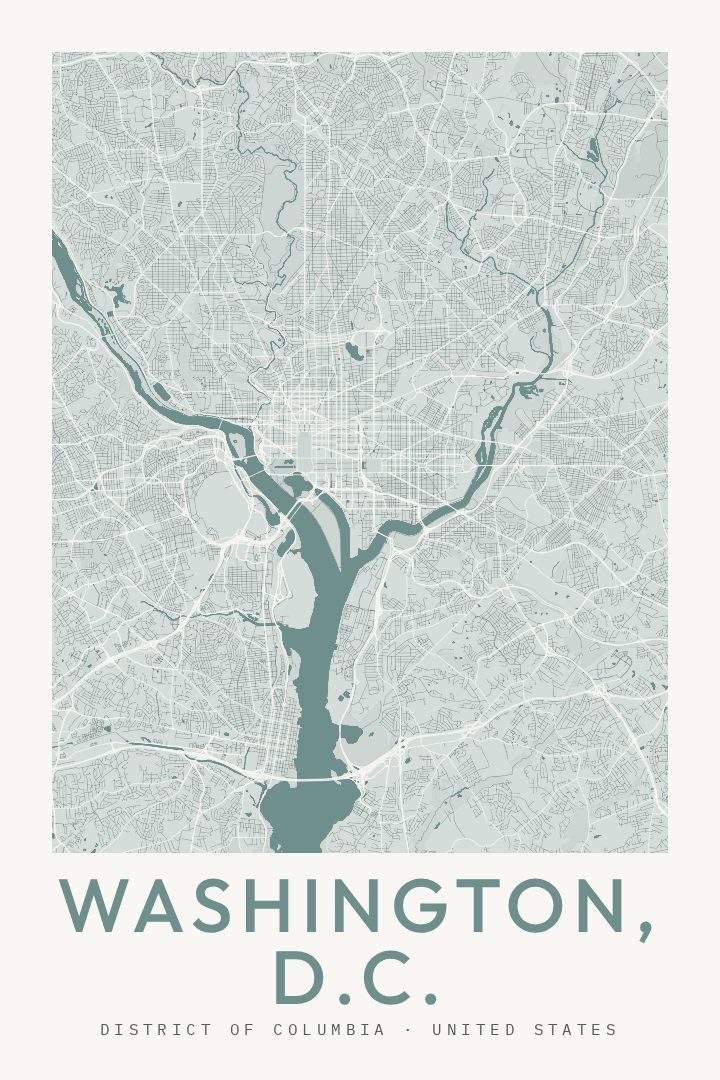
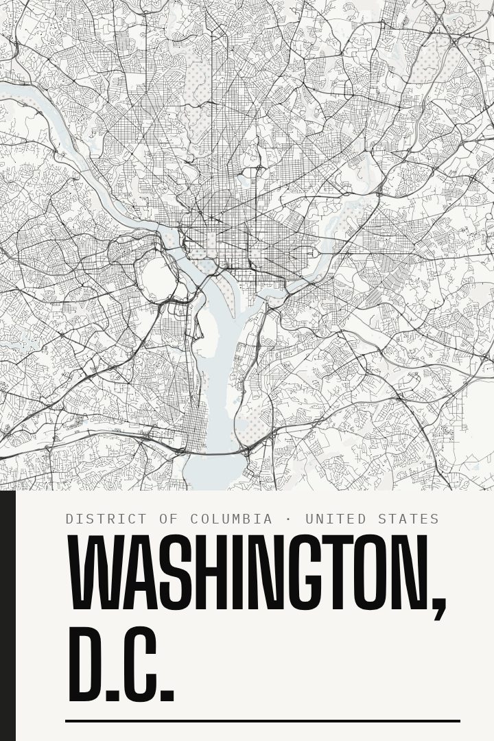
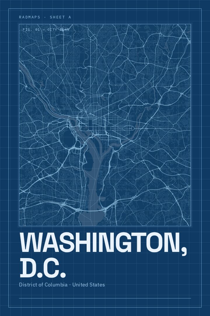
Washington, D.C. in every style
You might also like
Related map posters




Part of a collection