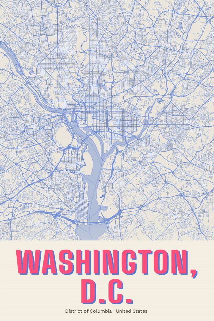
Shown at 16×24" · Archival Matte 250 gsm
Washington, D.C. City Map Poster
Overprint
About this print
Washington, D.C. map poster
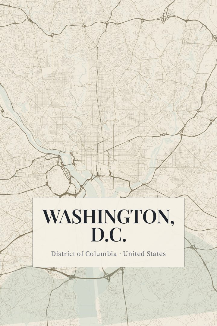
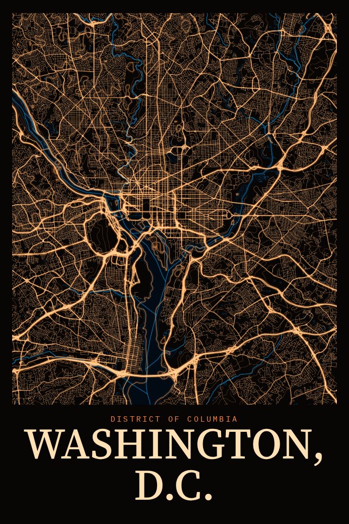
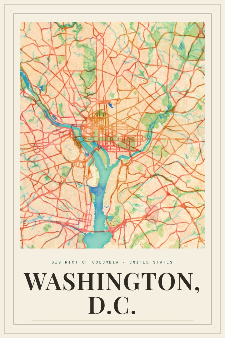
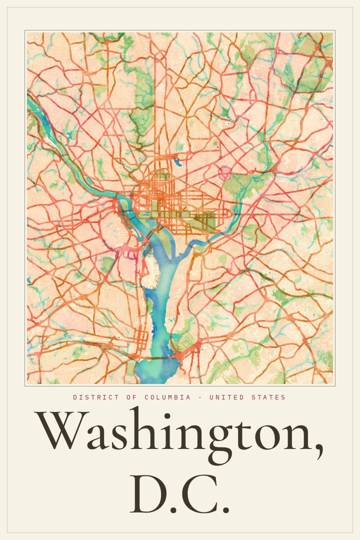
Washington, D.C. is a city of broad avenues and deliberate geometry, a capital laid out on paper long before most of its buildings stood. Its street grid, cut through by diagonal avenues and traffic circles, gives the city a shape unlike most American cities. This poster brings that plan into the Overprint style, a graphic, modern design that treats the map as something to look at rather than something to follow.
The District sits along the Potomac River, with the Anacostia River meeting it to the southeast. Between them lies a city known around the world for the National Mall, the Capitol, the White House, and the monuments and museums that draw visitors year after year. But D.C. is also a place where people live, commute, raise families, and walk the same blocks every day: rowhouse streets, neighborhood corner shops, and parks tucked between the busy avenues. A map of the city holds both of those identities at once.
This print suits someone who has called Washington home, someone who spent a formative few years there for work or school, or someone who simply loves the way the capital is drawn. It makes a thoughtful gift for a new resident, a recent graduate, or a friend who has moved away and misses the place. As decorative art, it brings a bit of the city's character to a living room, office, or hallway, a reminder of a place that feels both grand and familiar. It is meant for the wall, not for finding a way across town.
Make a custom map poster of your own routeDid it yourself? Make a poster from your own Strava activity
Route details
- Location
- District of Columbia, United States
- Collection
- Cityscapes
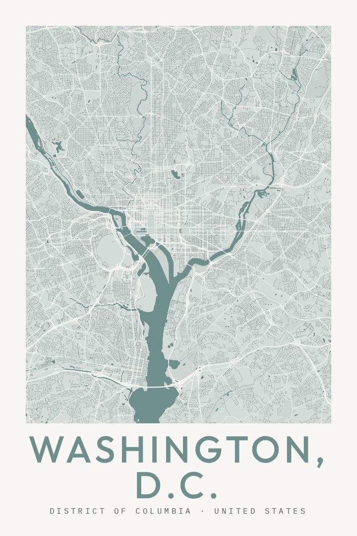
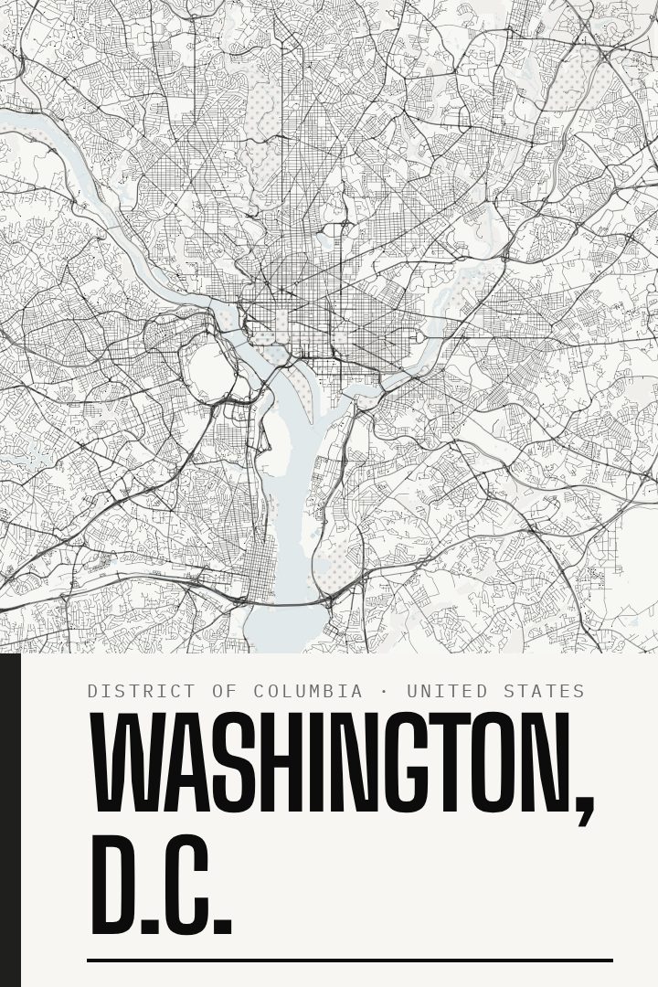
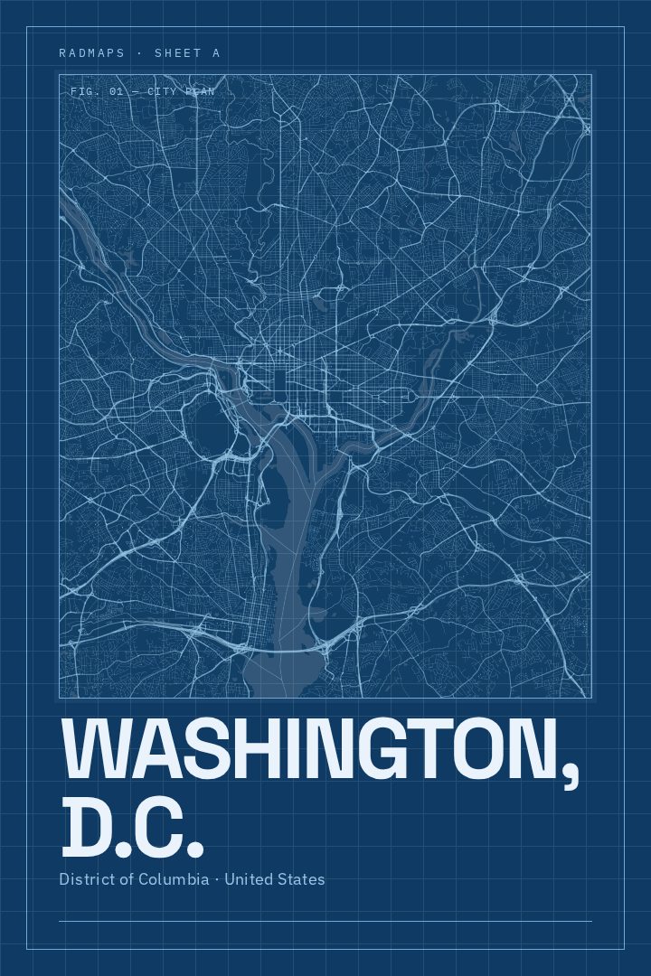
Same city, different style
Washington, D.C. in every style
You might also like
Related map posters




Part of a collection