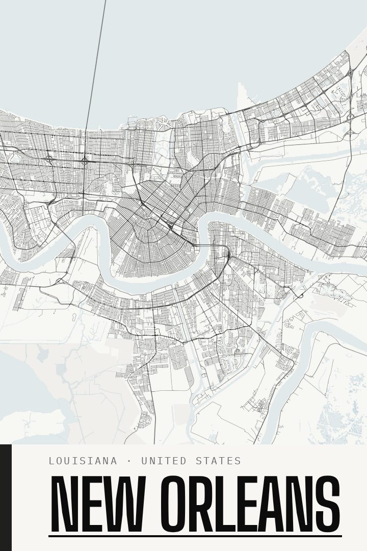
Shown at 16×24" · Archival Matte 250 gsm
New Orleans City Map Poster
Blackline
About this print
New Orleans map poster
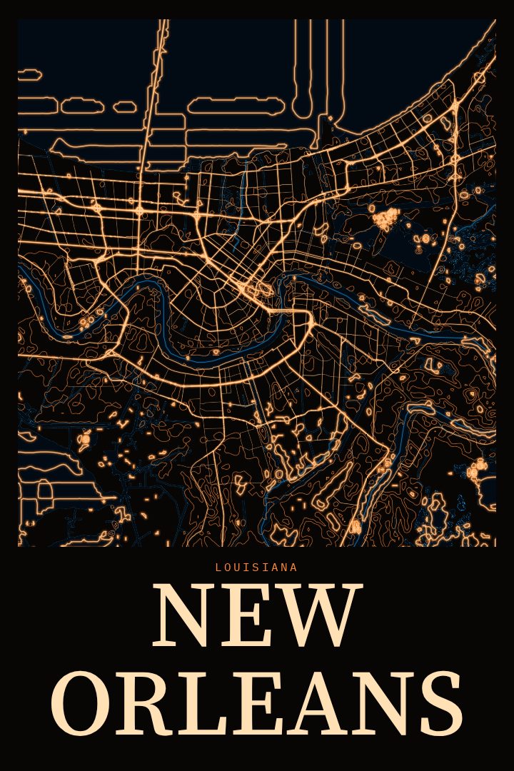
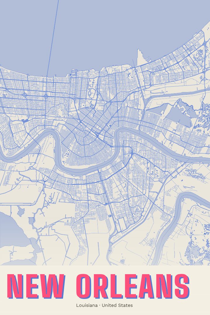
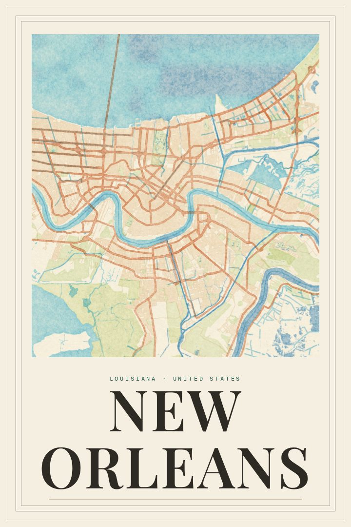
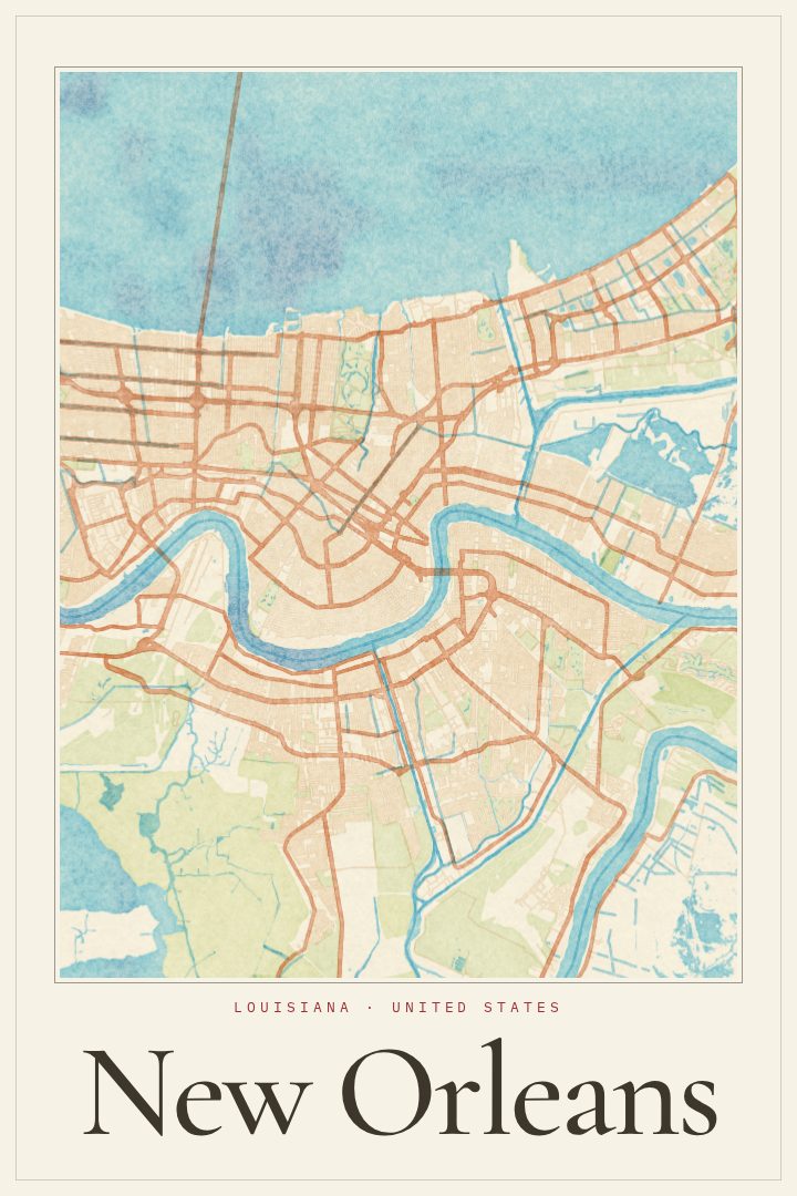
New Orleans is a city shaped by water. The Mississippi River bends hard around it, giving the city its old nickname, the Crescent City, and Lake Pontchartrain sits along its northern edge. Between them runs a street grid that refuses to be simple, with avenues fanning out to follow the curve of the river and neighborhoods that each keep their own rhythm. This Blackline print turns that layout into a clean, graphic piece of wall art for anyone who knows the city or carries a piece of it with them.
For some, New Orleans means the French Quarter and its balconies, or the streetcar rolling down St. Charles Avenue under the live oaks. For others it means a first apartment in the Marigny, a long weekend during Mardi Gras, a wedding, a college stretch at Tulane or Loyola, or simply the food and music that drew them back again and again. A street map holds all of those versions at once, which is part of why it works as a reminder of a place that mattered.
The Blackline style keeps things restrained, letting the unusual geometry of the city do the work. It suits a living room, a hallway, or an office, and makes a thoughtful gift for someone who has moved away, just moved in, or never stopped talking about the place. As with every RadMaps print, it is meant as decorative art rather than a tool for getting around, a way to keep the shape of New Orleans close by.
Make a custom map poster of your own routeDid it yourself? Make a poster from your own Strava activity
Route details
- Location
- Louisiana, United States
- Collection
- Cityscapes
Same city, different style
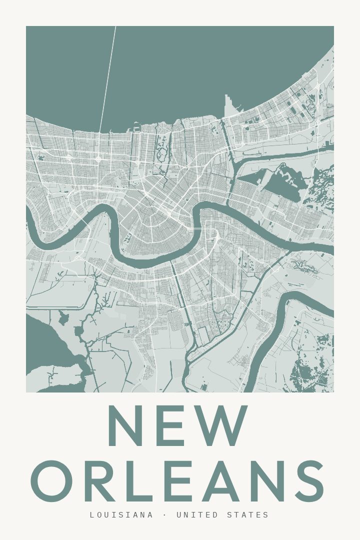
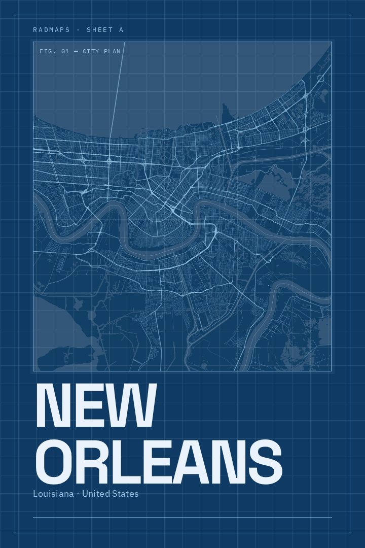
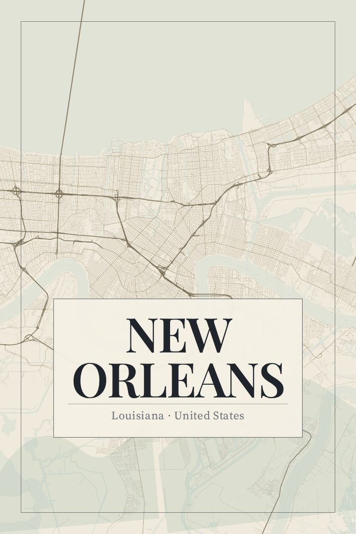
New Orleans in every style
You might also like
Related map posters




Part of a collection