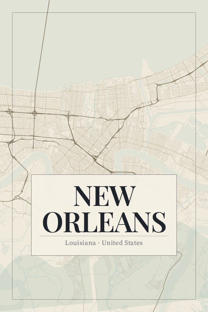
Shown at 16×24" · Archival Matte 250 gsm
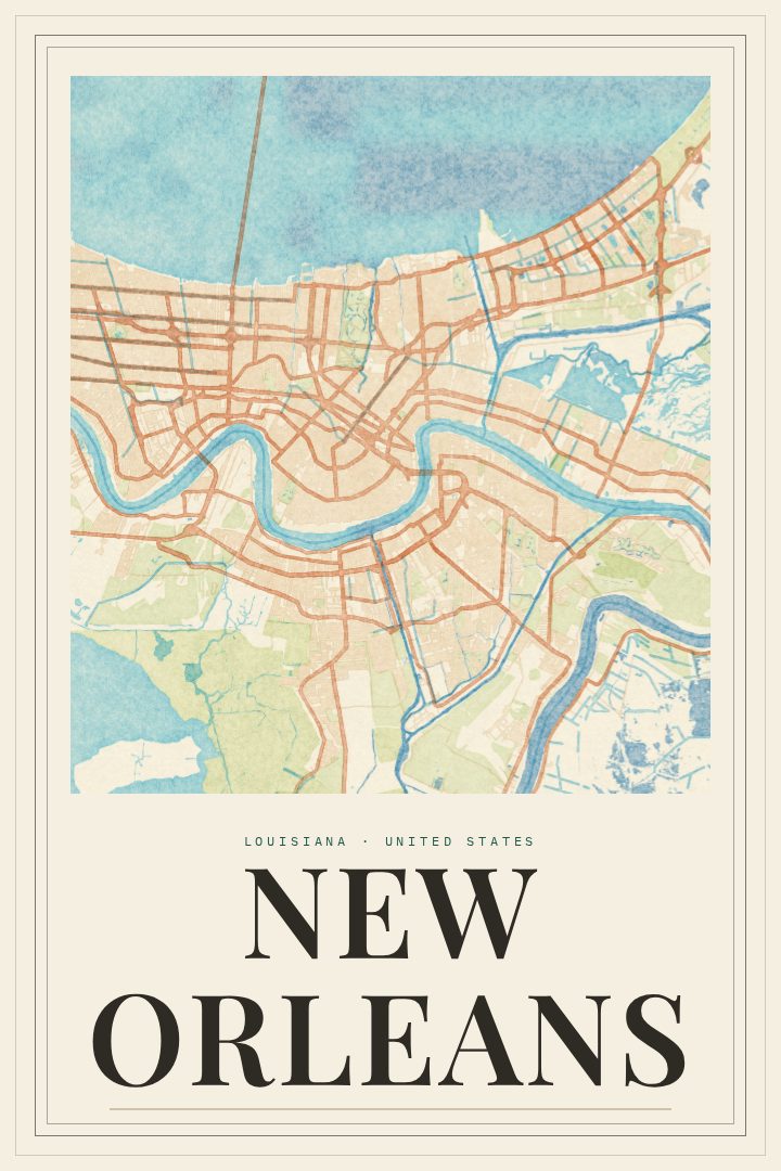
New Orleans City Map Poster
Cartouche
About this print
New Orleans map poster
New Orleans grew up along a deep bend in the Mississippi River, which is why it has long been called the Crescent City. Its streets follow the river's curve rather than a simple grid, fanning out from the water toward Lake Pontchartrain. The French Quarter holds the oldest part of town, with its iron balconies and Jackson Square, and the Garden District and Uptown stretch upriver beneath old oaks along St. Charles Avenue, where streetcars still run. This print captures that city in the Cartouche style, a design treatment that gives the street map a composed, decorative presence on a wall.
For many people, New Orleans is tied to specific memories: a brass band turning a corner, a morning of beignets and chicory coffee, a Mardi Gras parade, a week of music on Frenchmen Street, or simply the neighborhood where they lived or grew up. A street map holds those moments without spelling them out, so the person looking at it fills in the rest. It suits someone who calls the city home, someone who moved away and misses it, or a visitor who wants something more lasting than a souvenir.
The poster is meant as decorative art for a living room, hallway, office, or study, not as a guide for finding your way around town. The available sizes and finishes are listed on this page, so it is easy to choose the version that fits the space you have in mind.
Make a custom map poster of your own routeDid it yourself? Make a poster from your own Strava activity
Route details
- Location
- Louisiana, United States
- Collection
- Cityscapes
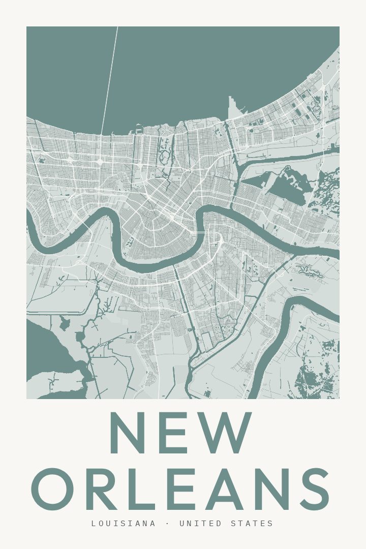
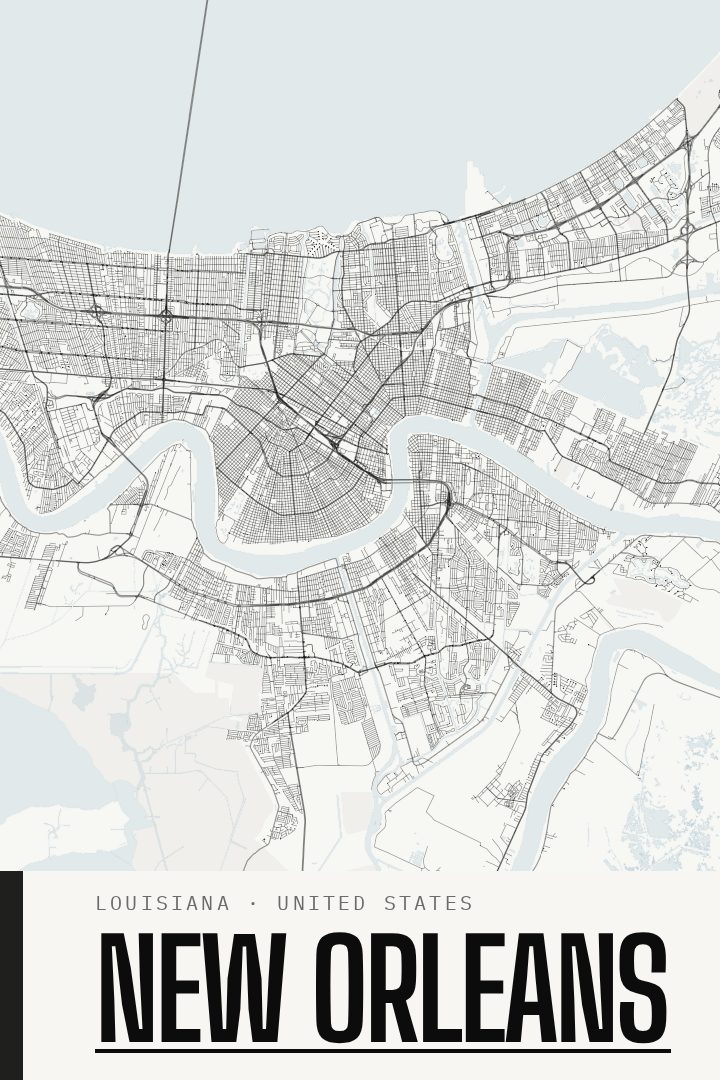
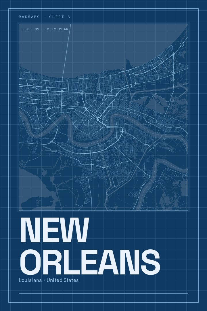
Same city, different style
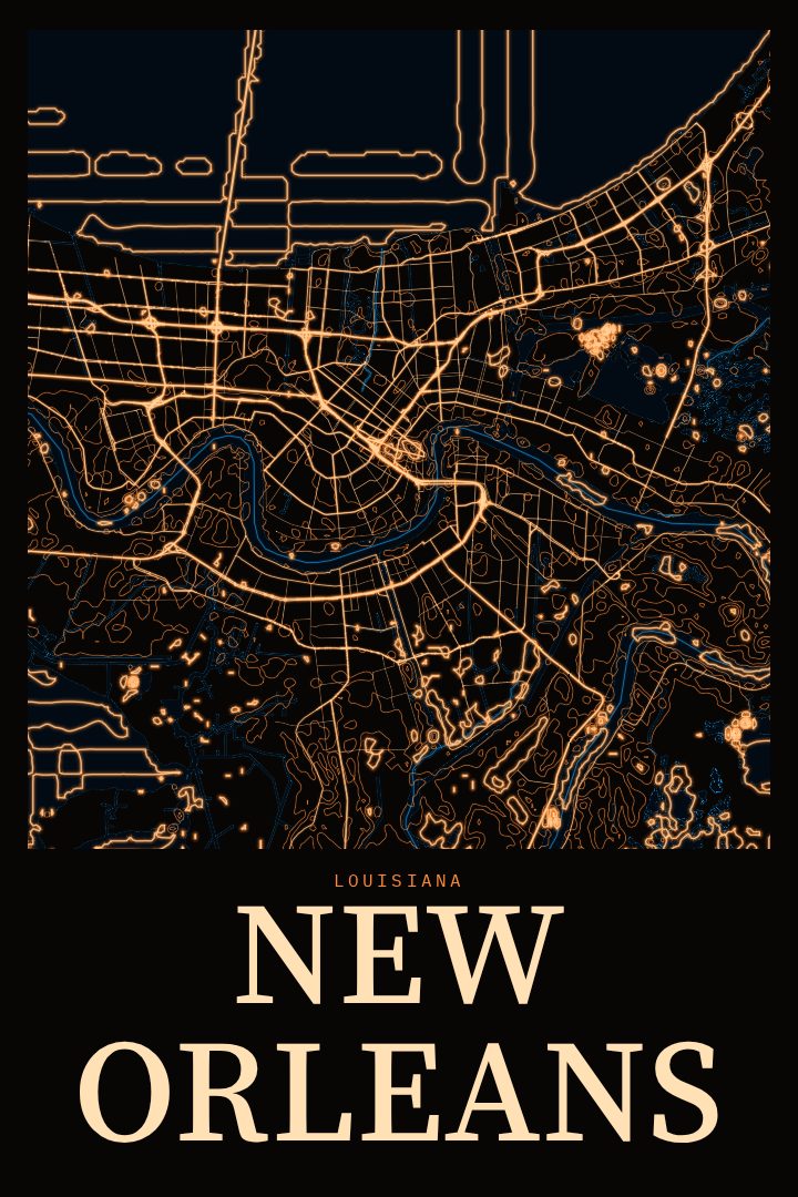
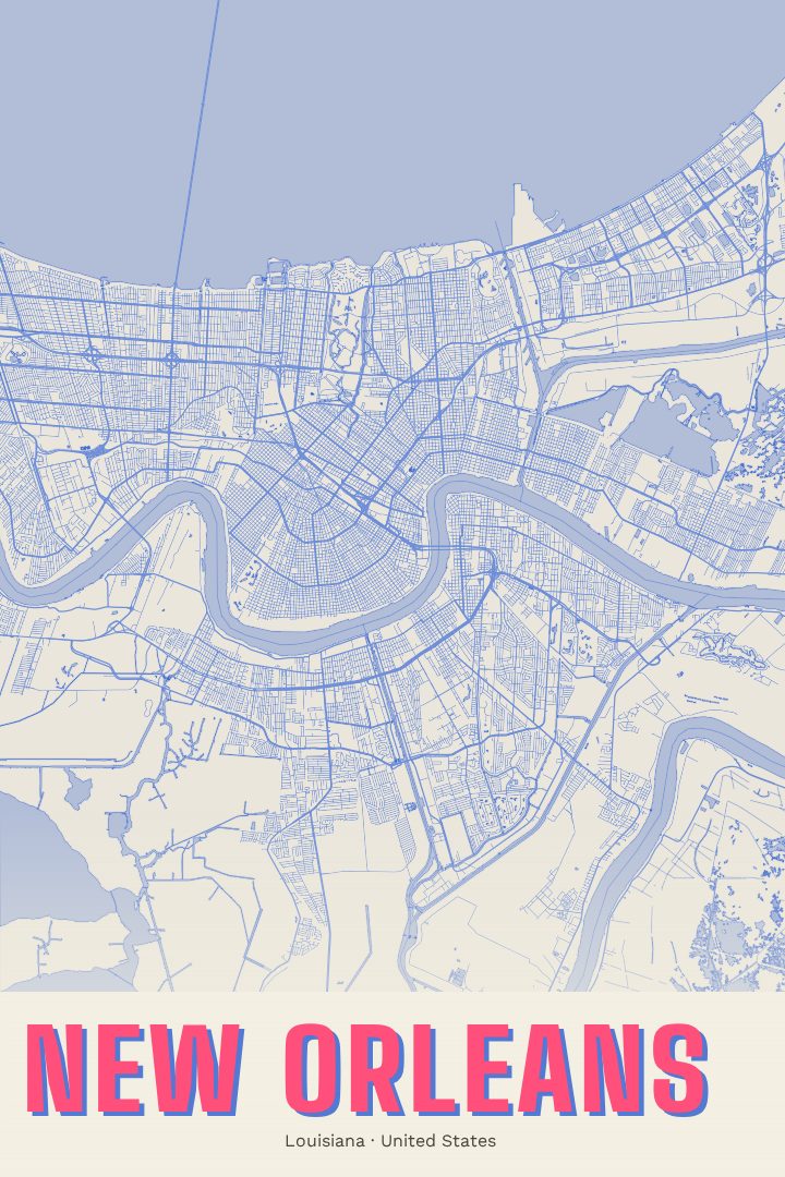
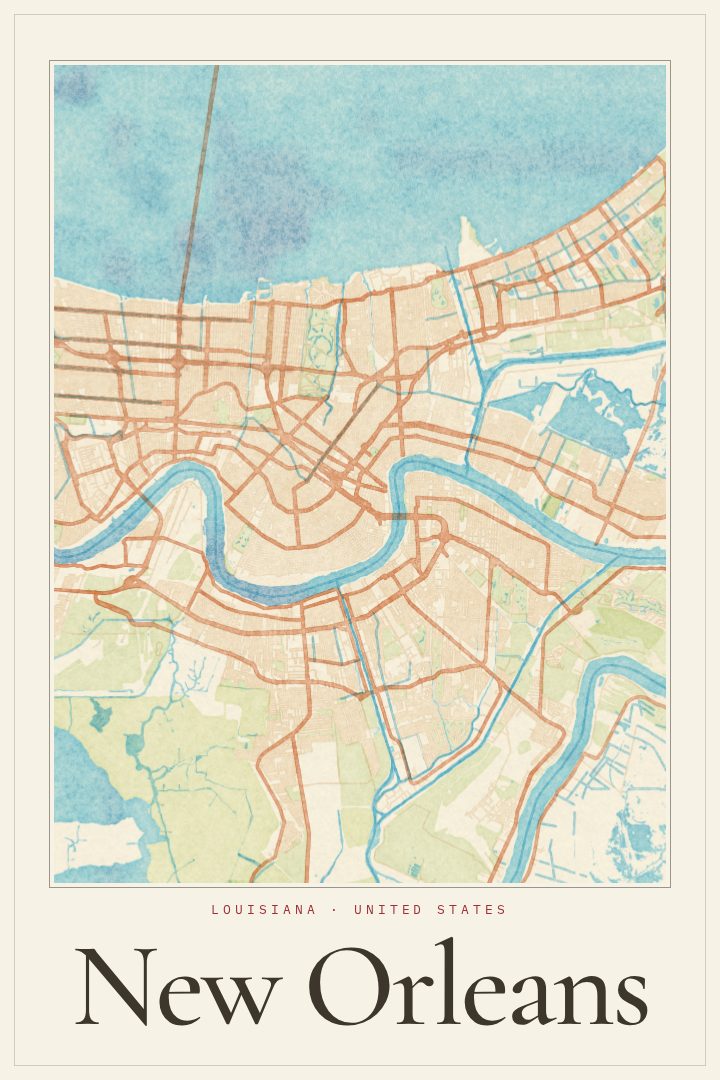
New Orleans in every style
You might also like
Related map posters




Part of a collection