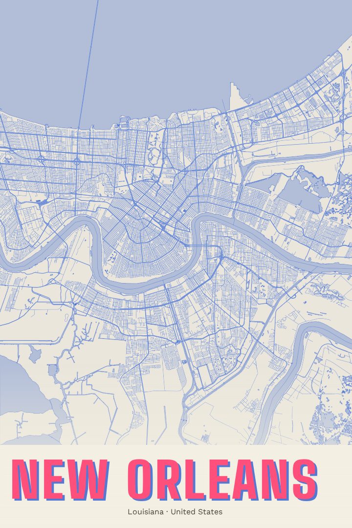
Shown at 16×24" · Archival Matte 250 gsm
New Orleans City Map Poster
Overprint
About this print
New Orleans map poster
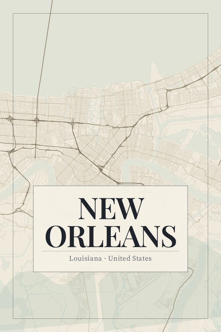
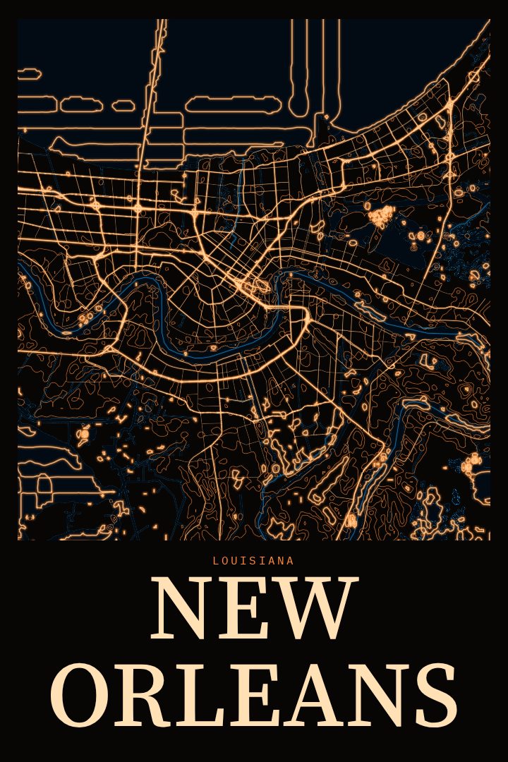
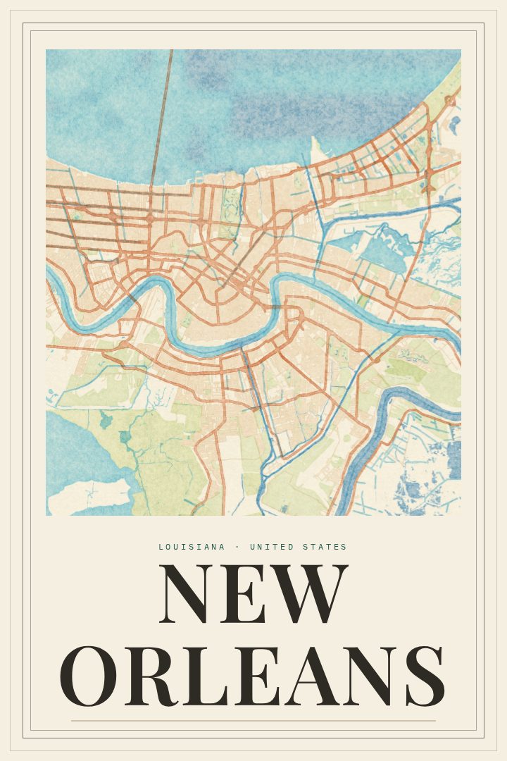
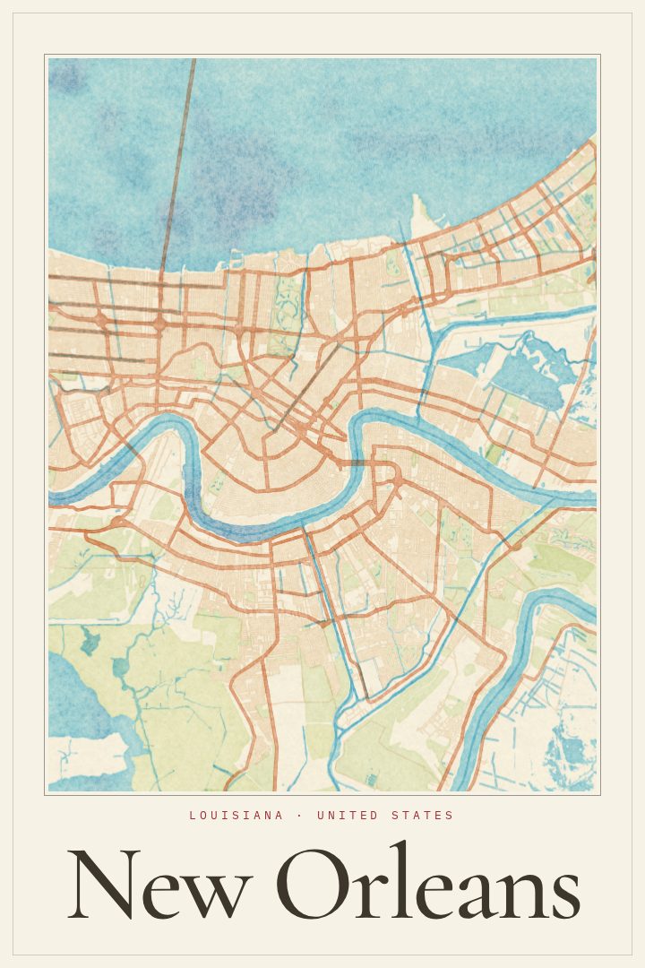
New Orleans is a city shaped by water. It sits along a deep bend in the Mississippi River, with Lake Pontchartrain to the north, and that position gives its streets an unusual geometry. Instead of a tidy grid, many roads follow the river's curve, which is part of why locals have long called it the Crescent City. This poster presents New Orleans, Louisiana as a street map in the Overprint style, turning that tangle of curves and angles into something to hang on a wall.
Few American cities carry as much personality in their layout. The French Quarter, one of the oldest parts of the city, holds onto its compact blocks and balconied streets, while the Garden District and Uptown spread out under old oaks along the streetcar line. Neighborhoods like the Marigny and Treme carry their own music, food, and history, and the city as a whole is known around the world for jazz, Mardi Gras, and a kitchen tradition all its own. A map of the place is a reminder of walks taken, meals eaten, and evenings that ran later than planned.
The Overprint edition is a graphic design style with a bold, layered look, and it suits a city that has never been shy about color. The print works as a keepsake for someone who grew up here, a memento of a trip, or a gift for a friend who moved away and still talks about it. It is meant as decorative art for a home or office, not as a guide for finding the way around town.
Make a custom map poster of your own routeDid it yourself? Make a poster from your own Strava activity
Route details
- Location
- Louisiana, United States
- Collection
- Cityscapes
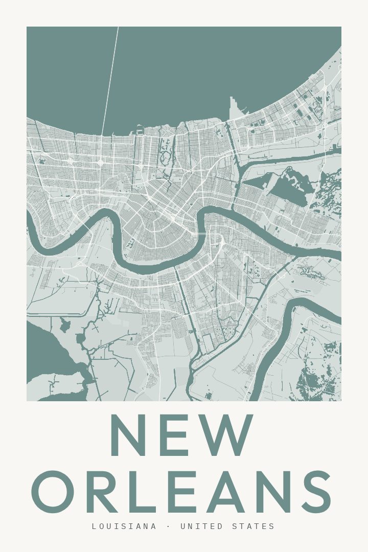
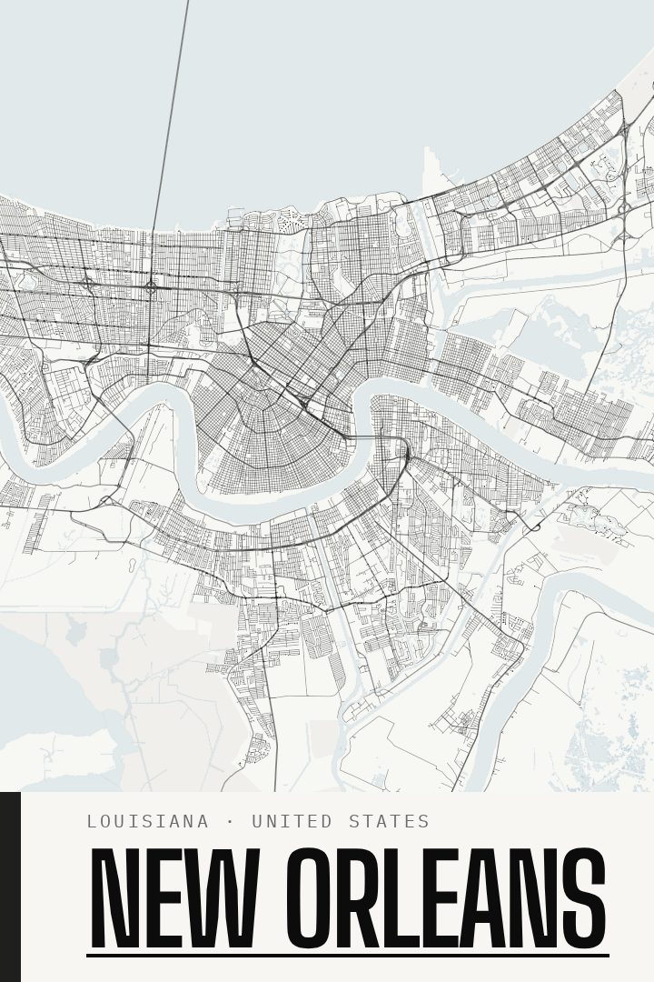
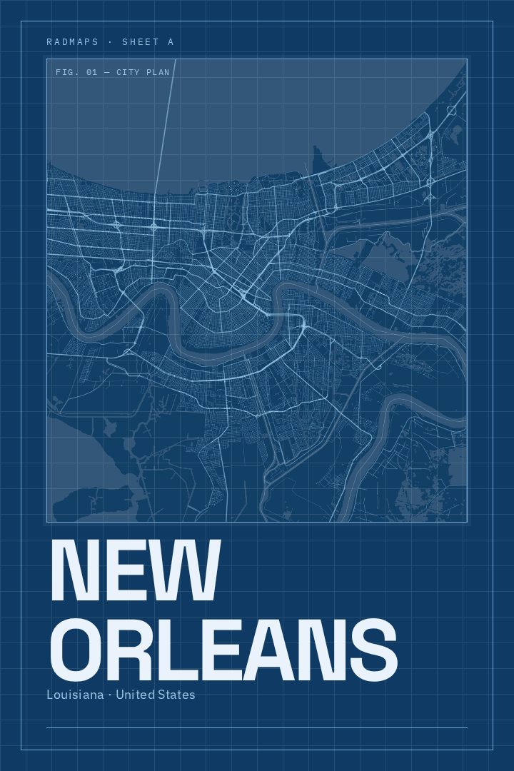
Same city, different style
New Orleans in every style
You might also like
Related map posters




Part of a collection