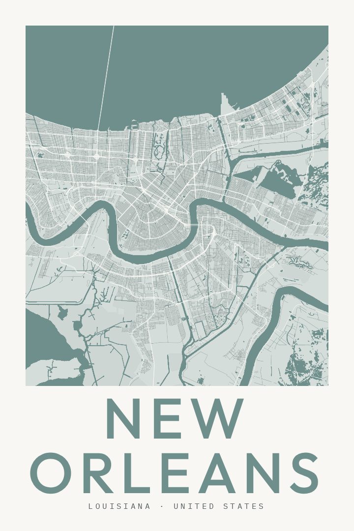
Shown at 16×24" · Archival Matte 250 gsm
New Orleans City Map Poster
Classic
About this print
New Orleans map poster
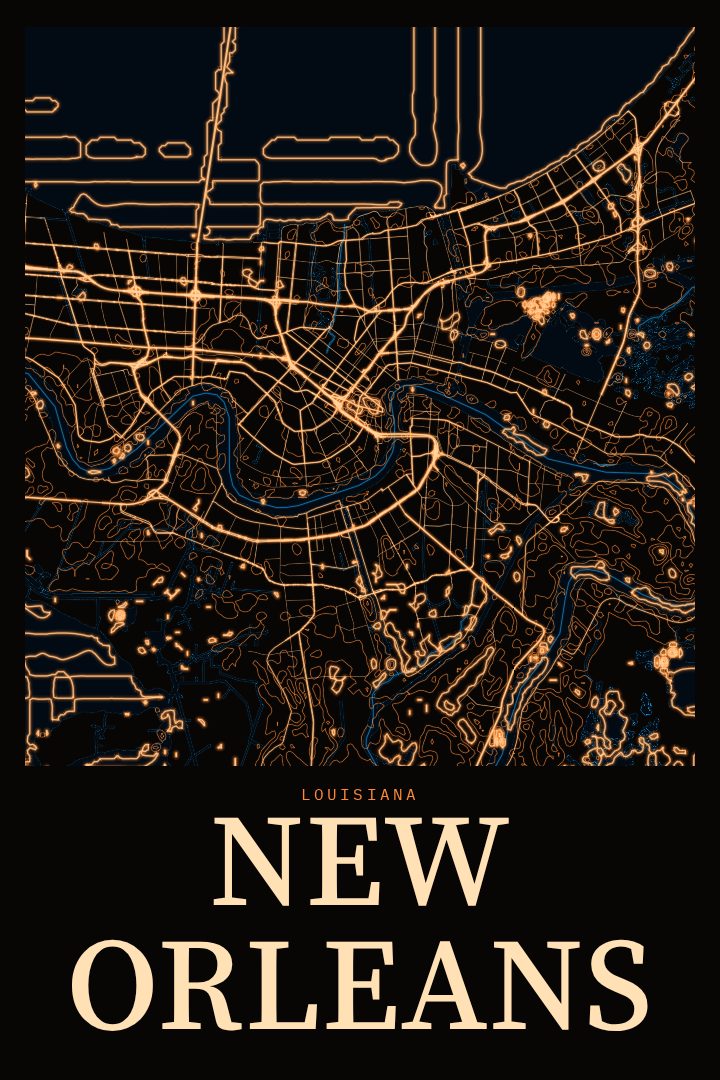
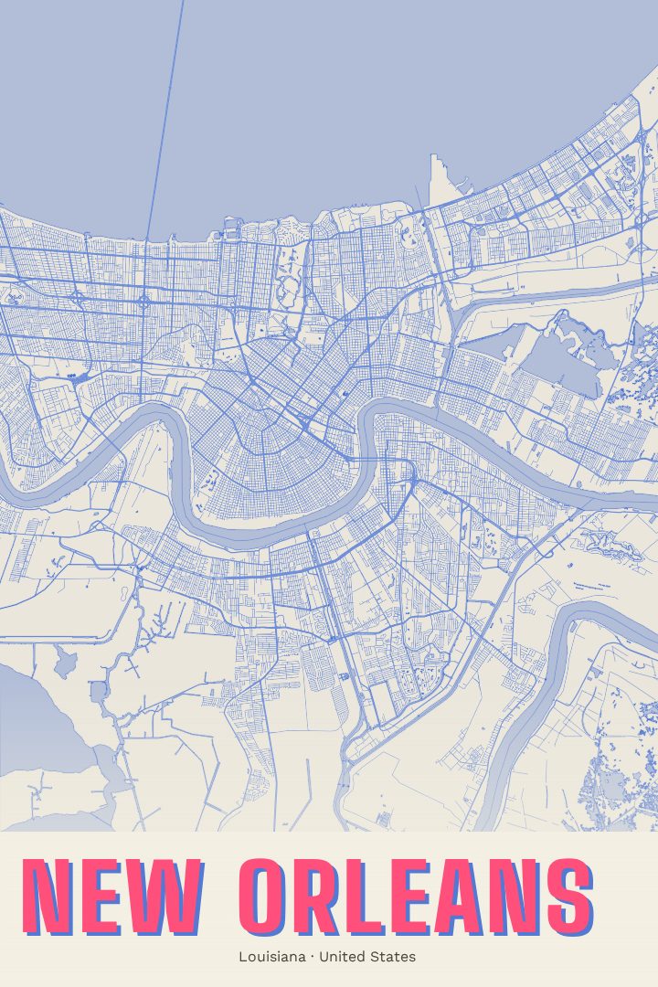
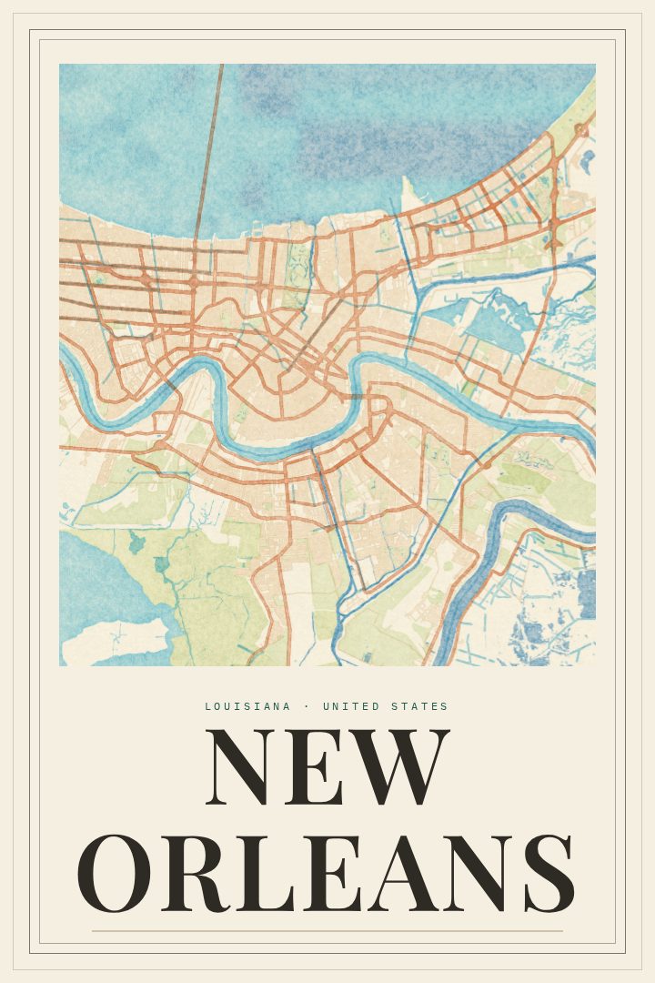
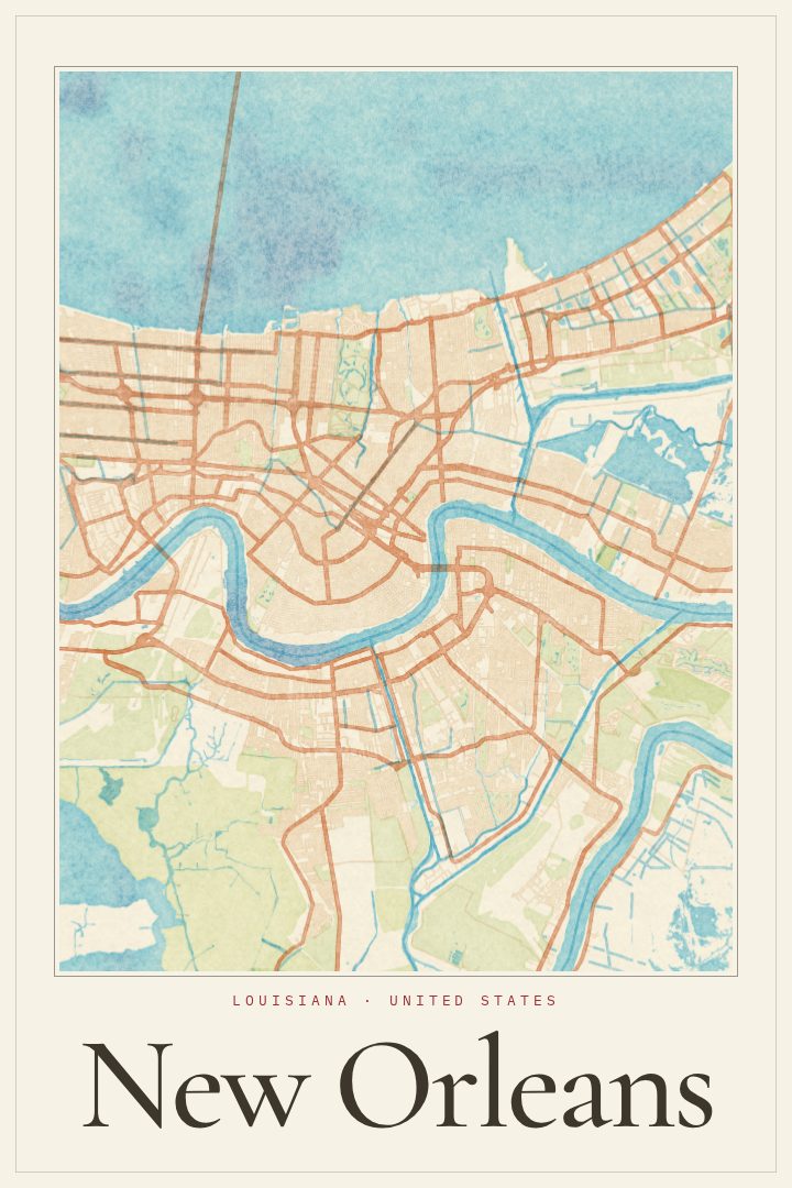
New Orleans is a city that people tend to carry with them long after they leave. It sits along a deep bend of the Mississippi River, a curve that gave it the nickname the Crescent City, and its streets grew around that water rather than in a tidy grid. The result is a street plan with real character, where roads fan out and bend to follow the river and the low ground around it. This print presents that layout in the Classic style, a clean and timeless look that lets the shape of the city speak for itself.
For many, the connection to New Orleans is personal. It might be the place someone grew up, the city where they went to school, or the spot they keep returning to for music, food, and long evenings out. The French Quarter, the Garden District, and the neighborhoods strung along the river each hold their own memories, and a street map can be a quiet way to keep all of that close. It works well as a reminder of home for someone who has moved away, or as a keepsake from a trip that left a mark.
The Classic style suits a wide range of rooms, from a living room wall to a home office or hallway. Its restrained design pairs easily with other art and furniture without competing for attention. This poster is meant as decorative art and a tribute to the city, not as a guide for getting around. It makes a thoughtful gift for anyone with a fondness for New Orleans, whether they have known it for decades or only for a single memorable weekend.
Make a custom map poster of your own routeDid it yourself? Make a poster from your own Strava activity
Route details
- Location
- Louisiana, United States
- Collection
- Cityscapes
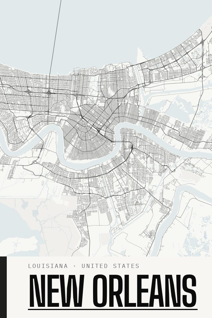
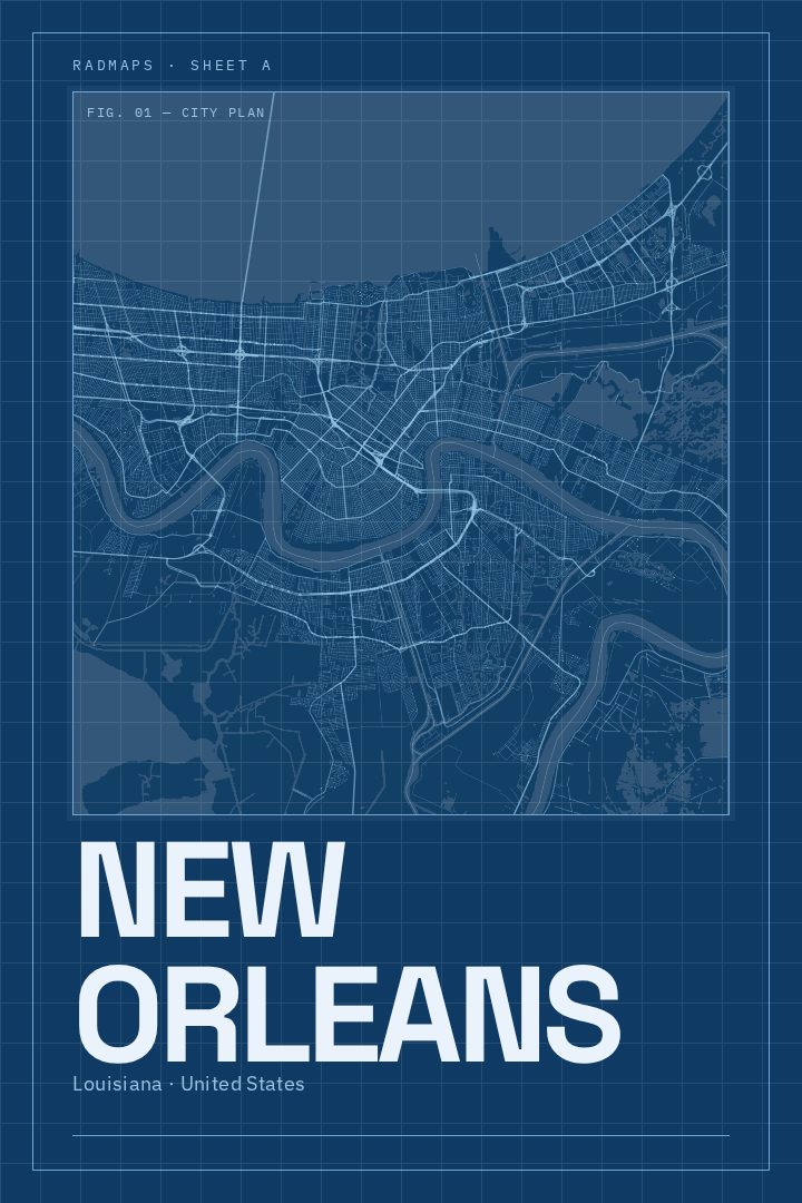
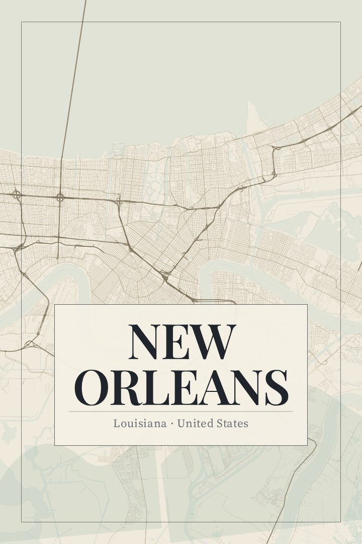
Same city, different style
New Orleans in every style
You might also like
Related map posters




Part of a collection