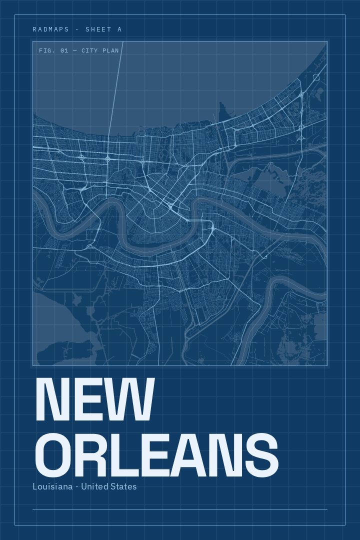
Shown at 16×24" · Archival Matte 250 gsm
New Orleans City Map Poster
Blueprint
About this print
New Orleans map poster
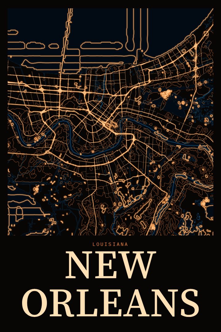
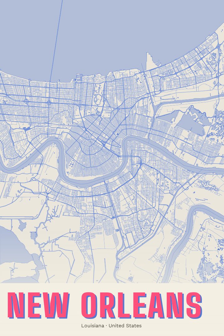
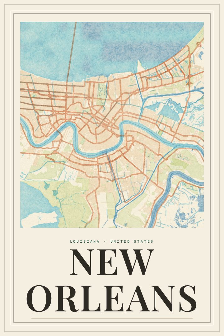
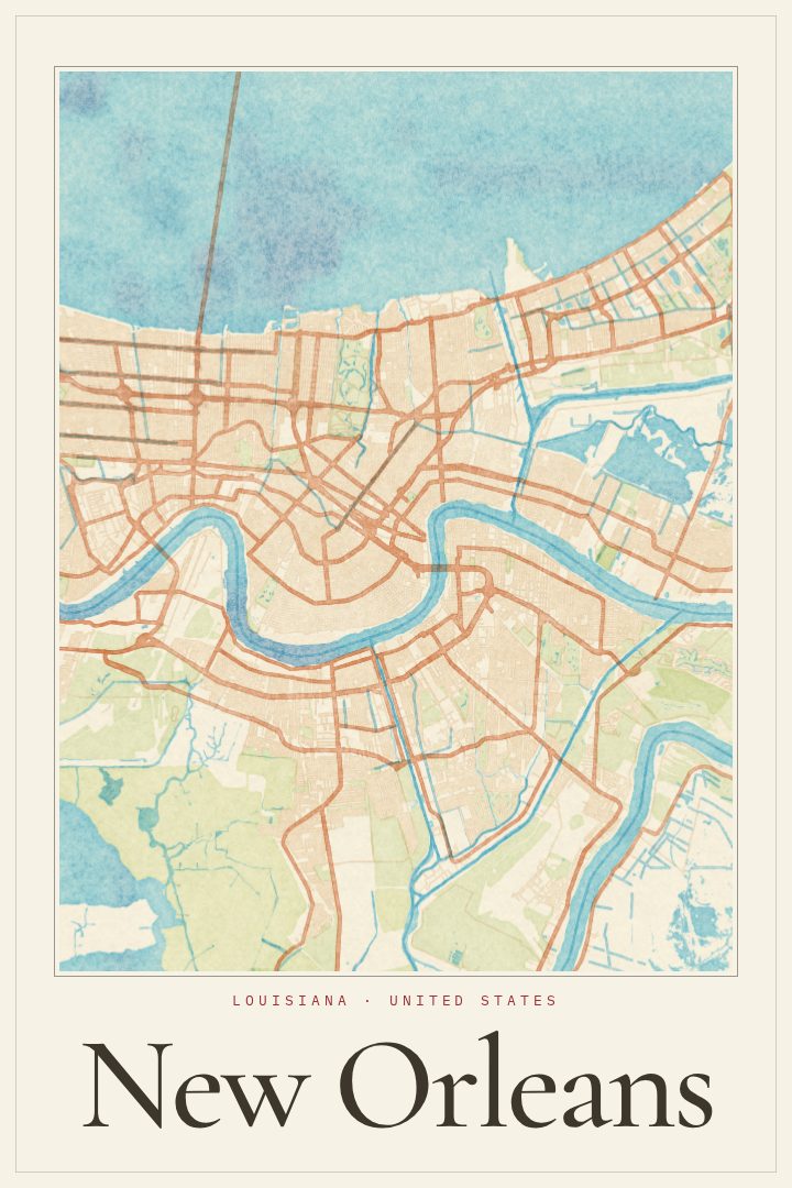
New Orleans is a city shaped by water. It grew up along a deep bend in the Mississippi River, which is why locals have long called it the Crescent City, and Lake Pontchartrain spreads out to the north. Between the two, its streets settled into patterns all their own, with grids that bend to follow the curve of the river. The French Quarter, the oldest part of town, still carries the architecture and street life that draw visitors from around the world, while neighborhoods like the Garden District and the Marigny each hold a distinct character. Streetcars have run along St. Charles Avenue for generations, and the city's music, food, and Mardi Gras traditions are known far beyond Louisiana.
This print presents New Orleans as a street map in the Blueprint style, a visual design that gives the city a clean, technical look. It suits a city whose layout tells so much of its story, from the old riverfront to the way newer streets spread outward. The result reads as both a portrait of a place and a quiet piece of graphic design, at home in a living room, office, or hallway.
For someone who grew up in New Orleans, moved away, or spent a few memorable days walking its streets, a map like this can hold a lot of meaning. It makes a thoughtful gift for a new resident, a returning native, or anyone who still thinks about a night of brass bands or a morning of beignets. It is meant as wall art and a reminder of a place, not as a guide for getting around.
Make a custom map poster of your own routeDid it yourself? Make a poster from your own Strava activity
Route details
- Location
- Louisiana, United States
- Collection
- Cityscapes
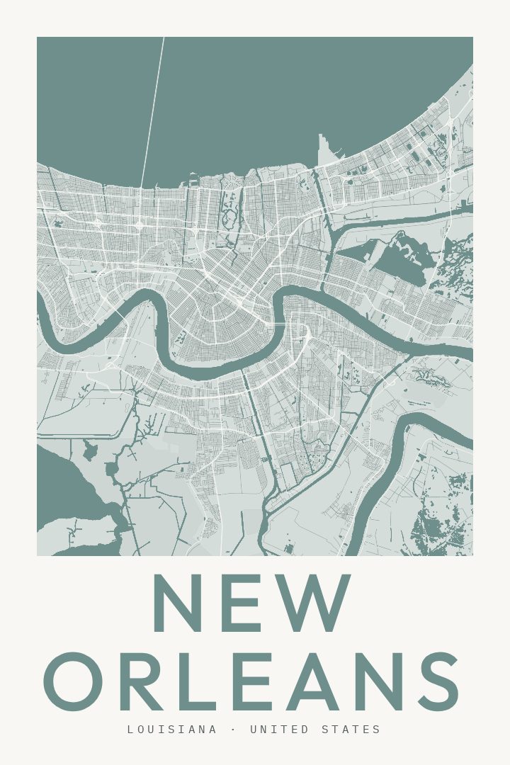
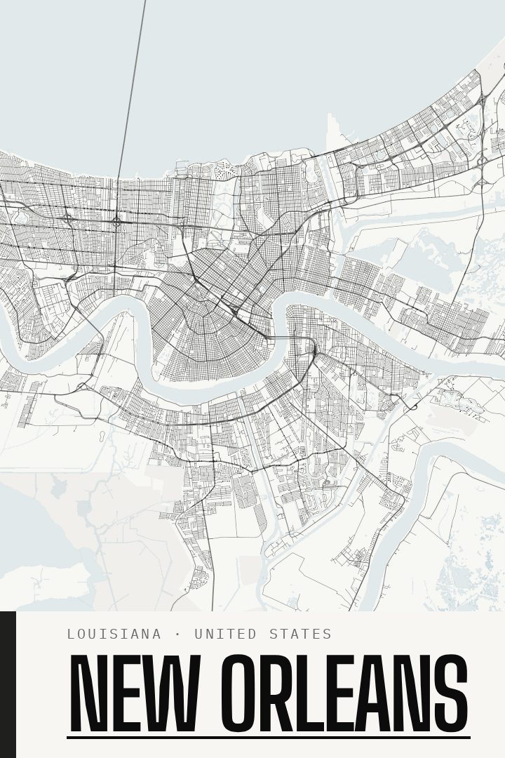
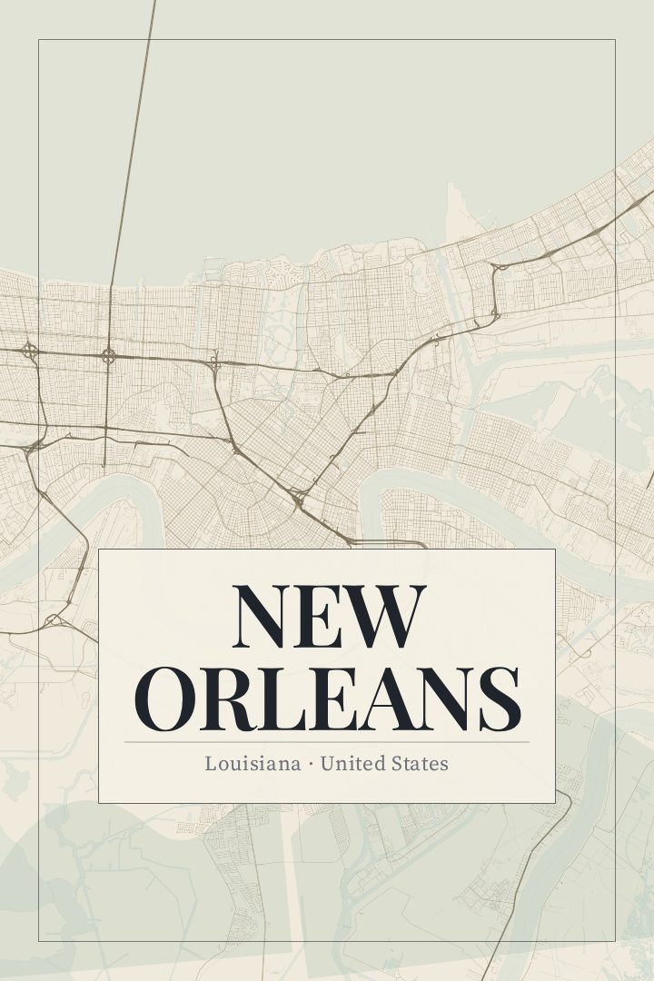
Same city, different style
New Orleans in every style
You might also like
Related map posters




Part of a collection