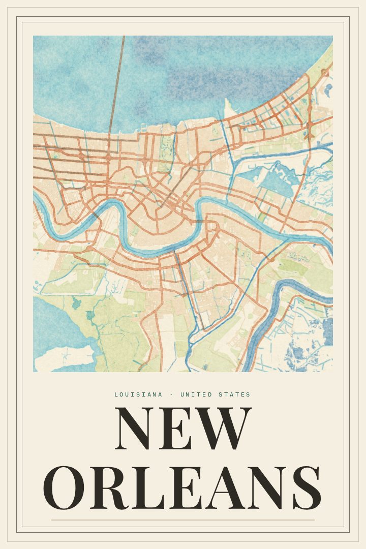
Shown at 16×24" · Archival Matte 250 gsm
New Orleans City Map Poster
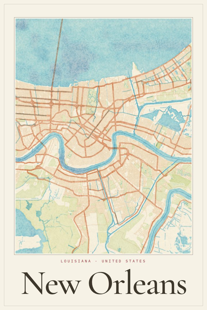
Painted Survey
About this print
New Orleans map poster
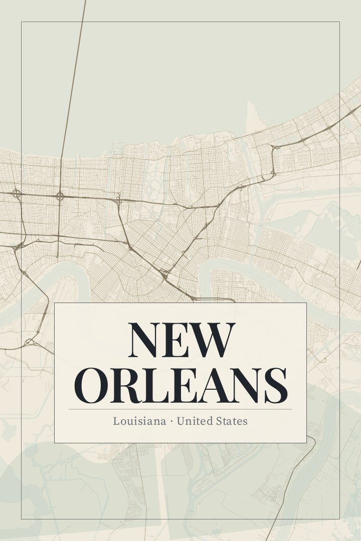
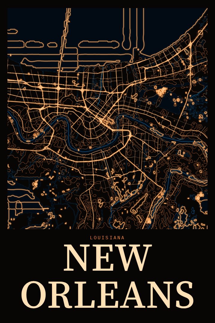
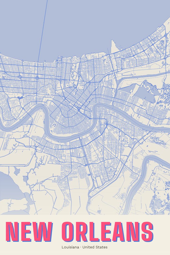
New Orleans is a city shaped by water. It grew along a deep bend in the Mississippi River, the curve that earned it the nickname the Crescent City, and its street grid bends and fans out to follow the river rather than a strict compass. That irregular layout gives the city a character of its own, where neighborhoods meet at odd angles and long avenues sweep in arcs toward the levee.
For many people the city means particular places: the narrow blocks and iron balconies of the French Quarter, the oak-lined calm of the Garden District, the streetcars rolling along St. Charles Avenue, the music drifting out of clubs on Frenchmen Street. Others know it through a parade route walked every Mardi Gras, a first apartment in the Marigny, a college stretch near Tulane or Loyola, or a family that has called Louisiana home for generations. A street map poster is a quiet way to keep that connection close, whether the city is home now or a place that left a mark years ago.
This print presents New Orleans in the Painted Survey style, a design that pairs the structure of a city map with a softer, painterly look. It suits a living room, a hallway, or an office wall, and it makes a thoughtful gift for someone who has moved away, just moved in, or simply can't stop talking about their last trip. As with all RadMaps prints, it is meant as decorative art rather than a guide for getting around. The page lists every available size and finish, so choosing the right fit for a given wall is straightforward.
Make a custom map poster of your own routeDid it yourself? Make a poster from your own Strava activity
Route details
- Location
- Louisiana, United States
- Collection
- Cityscapes
Same city, different style
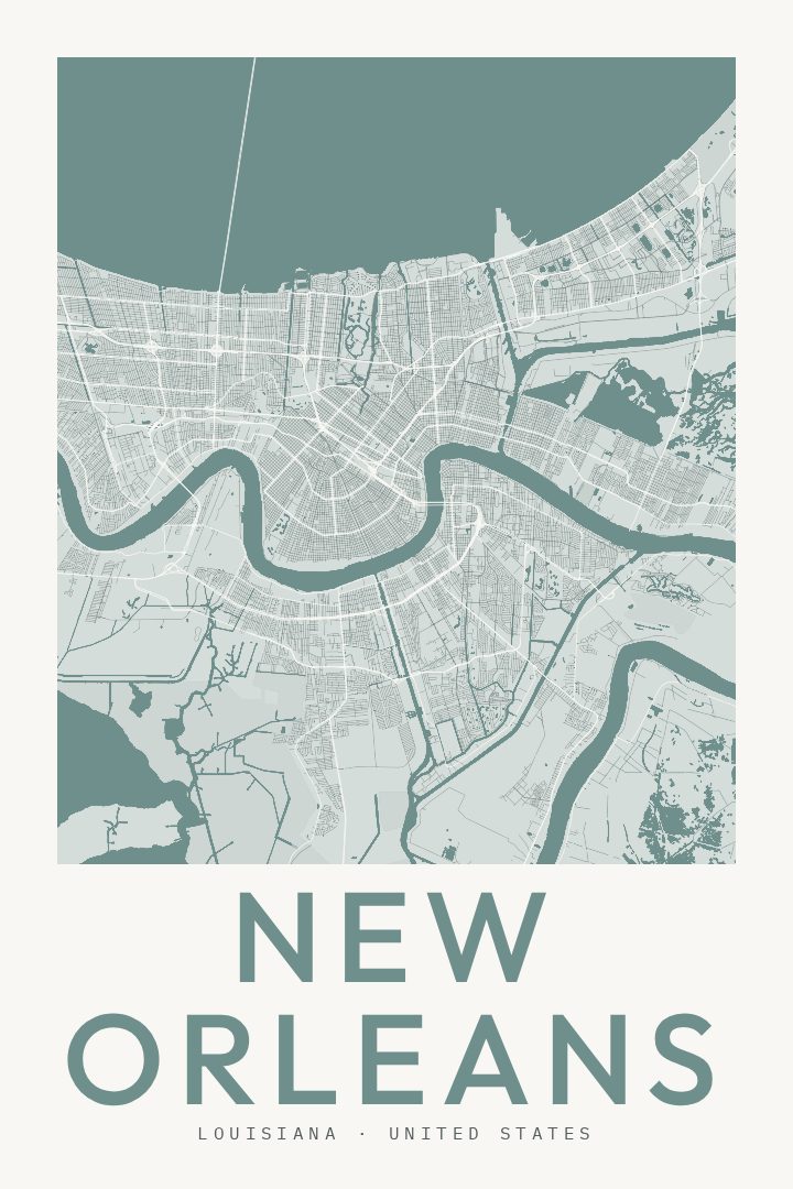
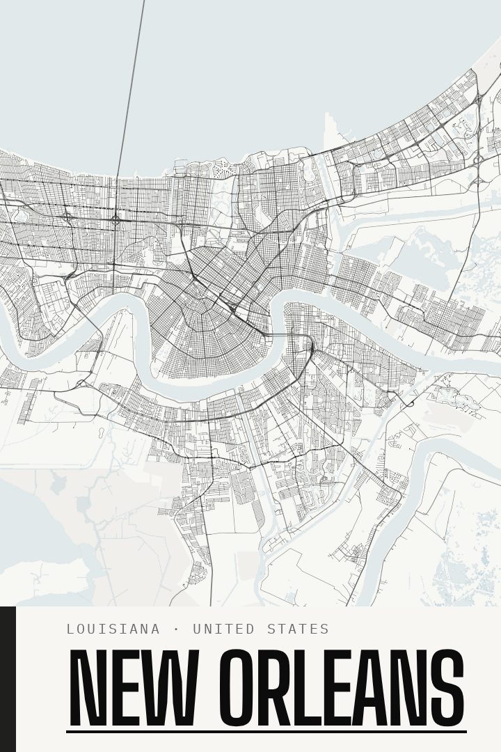
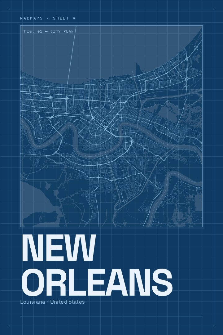
New Orleans in every style
You might also like
Related map posters




Part of a collection